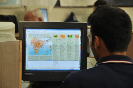
The weather is a strange thing, and it is often thought unpredictable. This couldn’t be further from the truth, and technology has proven it time and time again. With Hurricane Harvey in full swing, consumers have seen the power of technology to predict the weather yet again. Of course, the weather-predicting technology wasn’t always accurate or reliable. In fact, it has improved significantly over the past few years. Within this guide, you will discover the ways technology has improved weather predictions.

The Utilization Of Drones
Drones are still in their infancy. They have a long way to go, before they become mainstream. Nevertheless, various professionals have found a use for drones and this, including meteorologists. Scientists are often required to sample the atmosphere in remote locations when attempting to collect meteorological data. Those locations are difficult to access through conventional means. The drone may be able to help simplify this problem by giving scientists access to the information that is needed.
Drones were utilized during Tropical Storm Frank to collect data. More importantly, it did so without risking human life, which is very common for storm chasers.
Improvements To The Tornadic Vortex Signature
The Tornadic Vortex Signature is genuinely a remarkable technology. Nevertheless, it wasn’t always reliable. In the past, it took a very long time before scientists could pinpoint the location of a tornado. The technology relies on advanced algorithms to help detect tornadic activity. The technology has improved significantly in the past few years. In 1987, the technology had lead times of approximately 3.5 minutes. Today, that number has climbed 14 minutes. Suffice to say; the improvements have undeniably helped to save countless lives. This is one of the main reasons the Weather Station is capable of delivering accurate predictions to consumers around the globe.
Satellites
Another thing that has dramatically improved weather predictions is the satellite. Today, NOAA relies heavily on satellites to collect data from the atmosphere. In fact, NOAA has implemented a plan to deploy upgraded technologies in the next five years. Detailed satellite observations have proven to be enormously beneficial for allowing scientists to track and monitor incoming storms. This is especially true for extreme weather events, such as hurricanes. Geostationary satellites remain in one place and take pictures every 15 minutes. In return, forecasters utilize the data to provide consumers with the most reliable forecast humanly possible. This delivers lightning-fast and highly reliable predictions for growing storms and hurricanes.
Superensemble (SE) Process
The Florida State University developed an innovative tool that is capable of generating accurate hurricane predictions. Superensemble (SE) process gathers pertinent information from the best available weather model forecasts and predictive information to generate what they have deemed “super accuracy” forecast. SE forecasting is a statistical and computational process that goes far beyond the predictive power of independent dynamical models.
Unlike other type of forecasting methods, SE forecast is entirely objective, which means that it does not consist of human forecasts. This makes the process perfect for crop yield, consumer demand and electricity load forecasts.
